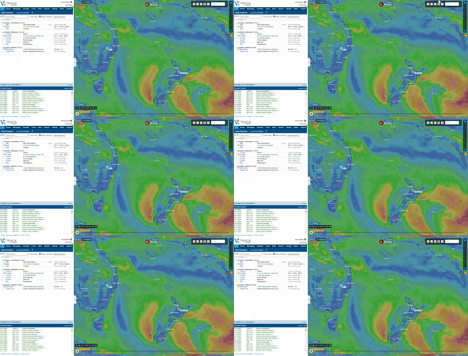
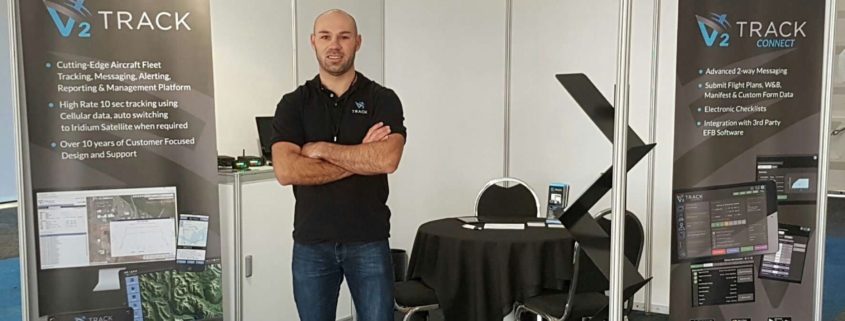
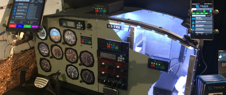
After being in business for over 10 years we decided it was time to give our logo and branding a refresh!
Over the next month you will see various parts of our platform updated to incorporate this new look and feel.
We hope you like it!
– The v2track team.

Nepal is a country well-known and loved around the world. It is home to 8 of the world’s top 10 highest peaks, putting it on tourist maps and bucket lists for many travellers and explorers. Amongst the picturesque and often rugged scenery, Nepal is home to over 26 million people. These are spread over the Terai (southern plains), the capital city Kathmandu (2.6 million), central highlands and northern mountains. The majority of the population lives in towns and villages in the central highlands.
Most will have seen images in the media of the large earthquake and subsequent aftershocks of April 2015. Affecting numerous countries in the region, the earthquake epicentres were in the Kathmandu Valley, between the Central highlands and the capital city of Nepal. They killed over 9000 and injured over 23,000 people. In Nepal, over 450,000 people were displaced as homes and entire villages were left in rubble, sometimes taken out by resulting avalanches.
So what has this got to do with v2track?

The view from inside a Fishtail Air AS350 on a disaster relief mission tracked by v2track. © MAF
For over 9 years, New Zealand based company v2track has been providing a GPS tracking service for vehicles, forestry applications, fixed-wing and helicopter operations in New Zealand, Australia, Papua New Guinea, Asia, Africa and North America. While there are many satellite-only GPS tracking systems on the market, v2track continues to stand out from the crowd. v2track’s unique hybrid Cellular/Satellite GPS tracking equipment provides high detail (10-15 second) updates of position (while in cellular range) switching to iridium satellite only when required. This keeps costs down and gives customers a better picture of where their assets are and what they are doing. More importantly, in an aviation context, it can massively reduce a search radius if an aircraft was to go missing, saving days of searching in a rugged mountainous environment, potentially saving lives.
Since 2012, v2track has been used by a commercial aircraft operator throughout rural Nepal with a variety of scheduled and charter flights, many ferrying tourists to Lukla (Tenzing-Hillary Airport) – a busy small town where many start their climb to Mount Everest Base camp.
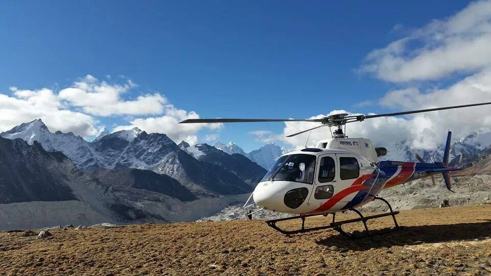
On the 14th of October 2014, a massive snow storm caused a series of avalanches in the Himalaya range, including the Annapurna Circuit – a popular tourist trek. 50 people died with over 175 injured with an estimated 50 still missing. A few months earlier, a Nepalese helicopter company had seen the benefit of the v2track system and upgraded to a v2track Cell/Sat unit from another tracking system they had been using. Their ground staff in Nepal and v2track staff watched back in New Zealand as their Helicopters flew countless flights in the area helping with evacuations and transporting medical personal.

Some of the damage caused by the Nepal earthquakes. © MAF/Dave Forney
Fast forward to April 2015 and the earthquake response by both the Nepalese Government and many foreign NGO’s required helicopters, and lots of them! With unprecedented demand for flights, helicopter operators in Nepal started working around the clock taking essential supplies and relief workers to affected areas.
With the increase in air activity, aviation safety was also on everyone’s mind. Almost immediately v2track was contacted by Mission Aviation Fellowship (MAF), an existing customer who operates fixed wing aircraft in remote regions around the world. They wanted some more v2track hardware to take with them to Nepal as part of setting up an emergency response centre and partnering with a local helicopter company, Fishtail Air, to provide flights for NGO’s and aid workers.
3 weeks after the Earthquake, the US Marines lost a helicopter on an aid mission in Nepal’s Dolakaha district. On board were 6 U.S marines and 2 Nepalese soldiers. It took three days to locate the wreckage and tragically there were no survivors. This tells something of the type of terrain these Helicopter pilots are working in, and how tracking aircraft is so important in such a country, indeed any country.
In the following weeks and months after the earthquake as helicopter pilots, aid workers, and support personal worked tirelessly to meet the many needs in the earthquake affected regions, v2track was been contacted by company after company in Nepal wanting our Hybrid Cellular/Satellite system in their helicopter operations to the point that we now have v2track being used by almost every Nepalese helicopter company, with the remaining companies planning to roll it out shortly. As in most developing and developed countries, the cellular network allows the for v2track system to be used to its full capability, with high detailed updates in large portions of the flights. Often satellite transmission is only required for flights in the remotest valleys.
John Woodberry, MAF Disaster Response Manager in Nepal says “v2track has been a great part of helping respond and to meet needs in remote areas of Nepal affected by the earthquake. For planning, our office staff were always able to see where the helicopters were to brainstorm additional flights, and for safety we always knew where they were. It is a wonderful tool for safe and quality flight operations.”
A video showing some of the ways organisations are helping in the Nepal disaster relief effort.
The MAF Disaster Response team goes on to say “We recently received a call from the security officer from the United Nations Humanitarian Air Service (UNHAS) saying that they had heard that a helicopter may have gone down and was it one of Fishtail Air’s. Due to the v2track system we were able to confirm in 30 seconds it was not, because both ourselves and the Fishtail operations team were able to see the helicopter flying with it’s exact location. The good news was that it was a false alarm as no helicopter had gone down.”
As life and the world media has moved on to cover the next unfolding crisis, please remember the people of Nepal. There are many still suffering and there is still much to be done to rebuild lives and communities. The relief efforts still continue.
While we at v2track can’t be involved first-hand in the relief effort, we are honoured to have a small part in helping the organisations that are flying these helicopters, and the organisations who have staff travelling in them, as they carry out their work – ensuring they know where their staff are at all times.
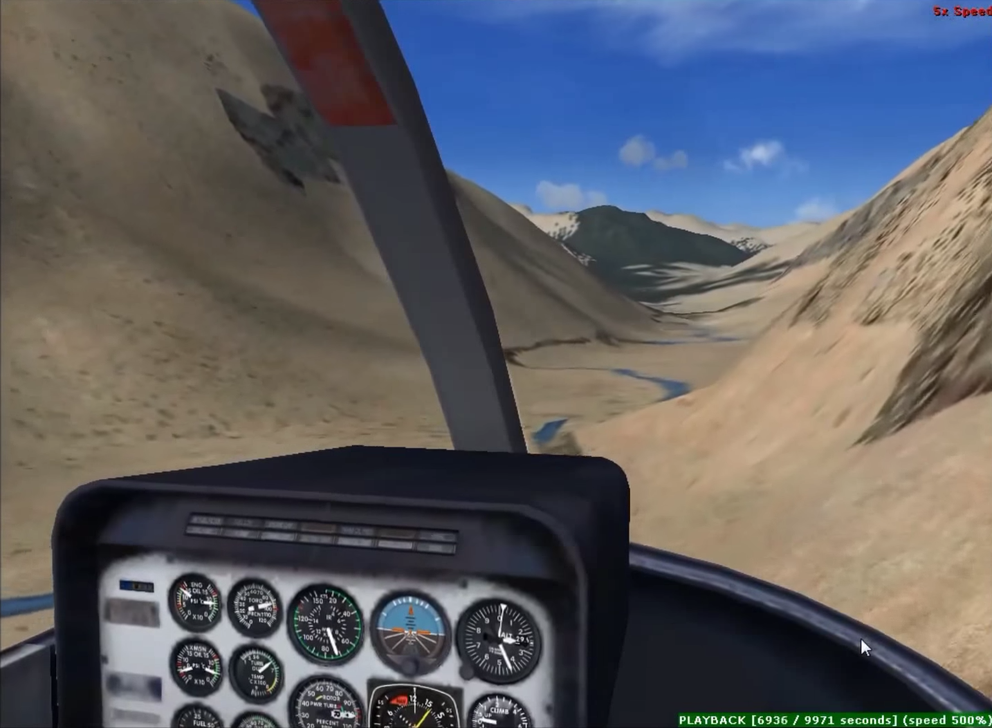
Imagine being able to watch a previously tracked flight in 3D, from the perspective of the pilot!
The high rate data coming from a v2track Hybrid Cellular/Satellite unit provides the perfect dataset for our 3D export to Google Earth™ or Microsoft Flight Simulator X. We’ve produced two videos (below) to show you how exported trips can come alive when you export them from v2track to either of these two programmes. The quantity of points to make up the base data just isn’t possible/economical to transmit with many other satellite-only tracking systems on the market!
v2track’s Next Generation Hybrid Sat/Cell technology utilises cost effective and rapid cellular transmissions whenever possible, backed up with the reliability of a satellite data link for complete tracking in every location. While operating in cellular coverage, positioning information is transmitted every 15 seconds (or faster) via cellular data, seamlessly switching to Iridium satellite for 2 minute (or faster) updates when it loses cellular signal. High rate data is stored on the v2track device while outside of cellular coverage and transmitting on satellite. When the device gets back in cellular range it will transmit the stored data so that you always have a complete detailed trip record, no matter where you fly!
The possibilities for such tools are numerous. Our customers are already finding it useful for
- Flight student debriefing
- Route training & visualisation for line pilots
- Pilot performance monitoring
- Safety investigation.
- Personal Interest
Contact us today to see how v2track can enhance the way your company operates!
v2track Trip Export to Microsoft Flight Simulator X https://youtu.be/-rRcsiZ93vg
For more information on Microsoft Flight Simulator X, please click here
This video was created under Microsoft’s “Game Content Usage Rules” using assets from Microsoft Flight Simulator X, © Microsoft Corporation
v2track Trip Export to Google Earth™ https://youtu.be/GfRtRtaL1ZM
For more information on Google Earth™, please click here
© 2012 Google Inc. All rights reserved. Google Earth™ is a trademark of Google Inc.
Google and the Google logo are registered trademarks of Google Inc., used with permission.
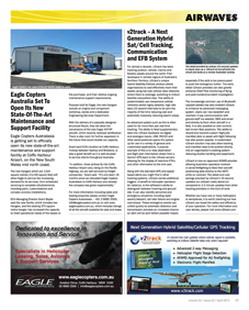
v2track has featured in the recent edition of Aviation Trader’s “Airwaves” publication.
“v2track – A Next Generation Hybrid Sat/Cell Tracking, Communication and EFB System“.
If you are in Australia or New Zealand get your closest copy of Aviation Trader/Airwaves (April 2015) and turn to page 11. For everyone else, you can read the article by clicking on the images below.
For more information about Aviation Trader/Airwaves, check out www.aviationtrader.com.au
v2track has featured in the recent edition of New Zealand’s KiwiFlyer magazine. “v2track: Much more than asset tracking“.
If you are in New Zealand get your closest copy of KiwiFlyer (Issue 38) and turn to page 10. For everyone else, you can read the article by clicking on the link below.
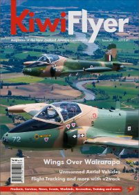

For more information about KiwiFlyer, or to read older editions of the magazine, check out www.kiwiflyer.co.nz
v2track and ‘Live Flight Tracking’ website FlightAware now have a data-exchange agreement enabling users of v2track’s Next Generation Hybrid technology to opt-in to display their tracking data on both the v2track Viewer web portal, and the FlightAware platform.
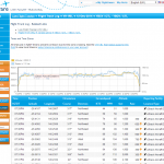 Sherron Racz, Aviation Sales at FlightAware, says “v2track’s Next Generation Hybrid Sat/Cell technology is very impressive and really improves tracking frequency. Typically with Radar we see 1 position per minute and with v2track we are seeing 4-5 positions per minute! It’s an amazing solution for comprehensive coverage during flight operations.”
For individuals who operate IFR within FlightAware’s primary coverage areas, their v2track positions will appear on FlightAware automatically to provide a more comprehensive flight tracking solution using v2track’s Hybrid Satellite/Cellular GPS hardware. FlightAware offers Global solutions for operators to display their v2track positions on FlightAware when operating outside of FlightAware’s primary coverage area. Please contact FlightAware for further information.
v2track’s Next Generation Hybrid Sat/Cell technology utilizes cost effective and rapid cellular transmissions whenever possible, backed up with the reliability of a satellite data link for complete tracking in every location. While operating in cellular coverage, positioning information is transmitted every 15 seconds (or faster) via cellular data, seamlessly switching to Iridium satellite for a predefined update rate when it loses cellular signal. There is good cellular coverage at altitude in many countries around the world so this helps keeps tracking costs to a minimum.
 For more information, please contact v2track.
More information about FlightAware is available at www.flightaware.com

